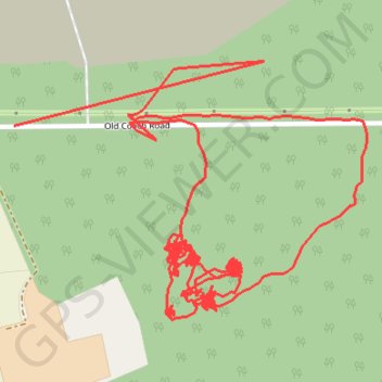
RE SK620770 2
- Distance: 3.0 mi
- Elevation gain: 11 m
- Maximum elevation: 63 m
- Elevation loss: 10 m
- Minimum elevation: 58 m
Interactive trail map
Trail profile
- Distance: 3.0 mi
- Elevation gain: 11 m
- Maximum elevation: 63 m
- Elevation loss: 10 m
- Minimum elevation: 58 m
About this trail
Name: RE SK620770 2 trail, distance, elevation, map, profile, GPS track
Coordinates: 53.28632 -1.07488 53.28970 -1.06715
Topography: Bassetlaw topographic map, elevation, terrain