Exploring George Poston Park
- Distance: 3.1 mi
- Elevation gain: 102 m
- Maximum elevation: 271 m
- Elevation loss: 101 m
- Minimum elevation: 222 m
- Moving time: 1 h 2 m
- Moving speed: 2.9 mph
- Maximum speed: 4.6 mph
- Total time: 1 h 7 m
- Global speed: 2.8 mph
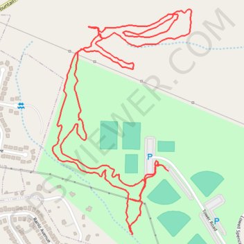
Interactive trail map
Trail profile
- Distance: 3.1 mi
- Elevation gain: 102 m
- Maximum elevation: 271 m
- Elevation loss: 101 m
- Minimum elevation: 222 m
- Moving time: 1 h 2 m
- Moving speed: 2.9 mph
- Maximum speed: 4.6 mph
- Total time: 1 h 7 m
- Global speed: 2.8 mph
About this trail
Name: Exploring George Poston Park trail, distance, elevation, map, profile, GPS track
Start: Tower Road, Gaston County, North Carolina, 28098, United States (35.28972 -81.11272)
End: Tower Road, Gaston County, North Carolina, 28098, United States (35.28993 -81.11310)
Coordinates: 35.28747 -81.11770 35.29540 -81.11172