Odvraćenica - Jankov kamen - Golijska reka
- Distance: 17.5 mi
- Elevation gain: 979 m
- Maximum elevation: 1,828 m
- Elevation loss: 979 m
- Minimum elevation: 1,408 m
- Moving time: 7 h 39 m
- Moving speed: 2.3 mph
- Maximum speed: 7.6 mph
- Total time: 11 h 21 m
- Global speed: 1.5 mph
Interactive trail map
Trail profile
- Distance: 17.5 mi
- Elevation gain: 979 m
- Maximum elevation: 1,828 m
- Elevation loss: 979 m
- Minimum elevation: 1,408 m
- Moving time: 7 h 39 m
- Moving speed: 2.3 mph
- Maximum speed: 7.6 mph
- Total time: 11 h 21 m
- Global speed: 1.5 mph
About this trail
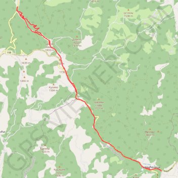
Name: Odvraćenica - Jankov kamen - Golijska reka trail, distance, elevation, map, profile, GPS track
Coordinates: 43.27576 20.25479 43.35576 20.35130
Other hiking, mountain biking, running and outdoor activity trails
Click on a trail to view its statistics, map and profile.
2022_Yu
Slovenia > Ajdovščina > Žapuže
Distance: 1,526.9 mi • Elevation gain: 32,048 m • Maximum elevation: 1,950 m