Ministik Lake Game Bird Sanctuary
- Distance: 4.7 mi
- Elevation gain: 50 m
- Maximum elevation: 778 m
- Elevation loss: 50 m
- Minimum elevation: 758 m
- Moving time: 2 h 35 m
- Moving speed: 1.8 mph
- Maximum speed: 6.3 mph
- Total time: 4 h 14 m
- Global speed: 1.1 mph
Interactive trail map
Trail profile
- Distance: 4.7 mi
- Elevation gain: 50 m
- Maximum elevation: 778 m
- Elevation loss: 50 m
- Minimum elevation: 758 m
- Moving time: 2 h 35 m
- Moving speed: 1.8 mph
- Maximum speed: 6.3 mph
- Total time: 4 h 14 m
- Global speed: 1.1 mph
About this trail
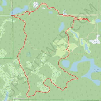
Name: Ministik Lake Game Bird Sanctuary trail, distance, elevation, map, profile, GPS track
Start: Township Road 502, Leduc County, Alberta, Canada (53.30882 -113.00162)
End: Township Road 502, Leduc County, Alberta, Canada (53.30883 -113.00141)
Coordinates: 53.29488 -113.00162 53.31082 -112.97913
Other hiking, mountain biking, running and outdoor activity trails
Click on a trail to view its statistics, map and profile.
Air Cache Northeast of Mandy Lake
Canada > Alberta > Leduc County
Distance: 3.9 mi • Elevation gain: 32 m • Maximum elevation: 778 m