Tree farm in Hansville
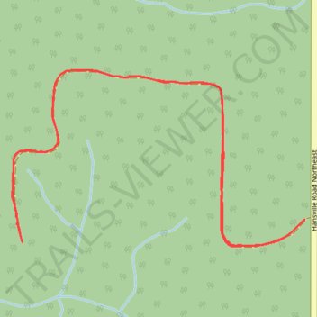
- Distance: 1.8 mi
- Elevation gain: 53 m
- Maximum elevation: 113 m
- Elevation loss: 53 m
- Minimum elevation: 82 m
- Moving time: 18 m 54 s
- Moving speed: 5.7 mph
- Maximum speed: 11.2 mph
- Total time: 18 m 54 s
- Global speed: 5.7 mph
Interactive trail map
Trail profile
- Distance: 1.8 mi
- Elevation gain: 53 m
- Maximum elevation: 113 m
- Elevation loss: 53 m
- Minimum elevation: 82 m
- Moving time: 18 m 54 s
- Moving speed: 5.7 mph
- Maximum speed: 11.2 mph
- Total time: 18 m 54 s
- Global speed: 5.7 mph
About this trail
Name: Tree farm in Hansville trail, distance, elevation, map, profile, GPS track
Coordinates: 47.85755 -122.55076 47.86127 -122.54155