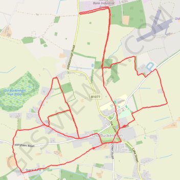
Walk round Old Buckenham
- Distance: 10.9 mi
- Elevation gain: 77 m
- Maximum elevation: 53 m
- Elevation loss: 77 m
- Minimum elevation: 33 m
- Moving time: 2 h 53 m
- Moving speed: 3.8 mph
- Maximum speed: 10.5 mph
- Total time: 2 h 53 m
- Global speed: 3.8 mph
Interactive trail map
Trail profile
- Distance: 10.9 mi
- Elevation gain: 77 m
- Maximum elevation: 53 m
- Elevation loss: 77 m
- Minimum elevation: 33 m
- Moving time: 2 h 53 m
- Moving speed: 3.8 mph
- Maximum speed: 10.5 mph
- Total time: 2 h 53 m
- Global speed: 3.8 mph
About this trail
Name: Walk round Old Buckenham trail, distance, elevation, map, profile, GPS track
Coordinates: 52.47391 1.01282 52.50164 1.05520
Topography: Breckland District topographic map, elevation, terrain