Crater Rim - Logger's Lake
Interactive trail map
Trail profile
- Distance: 5.7 mi
- Elevation gain: 277 m
- Maximum elevation: 794 m
- Elevation loss: 277 m
- Minimum elevation: 609 m
About this trail
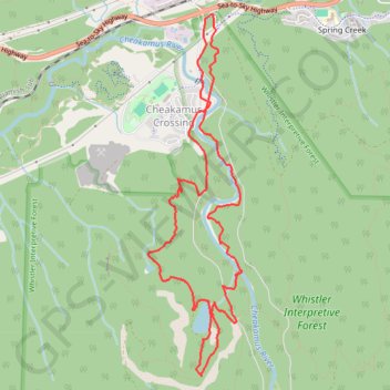
Name: Crater Rim - Logger's Lake trail, distance, elevation, map, profile, GPS track
Coordinates: 50.05932 -123.04326 50.08655 -123.03226
Other hiking, mountain biking, running and outdoor activity trails
Click on a trail to view its statistics, map and profile.