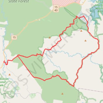
Goomboorian - Cooloola Cove
Interactive trail map
Trail profile
- Distance: 51.4 mi
- Elevation gain: 923 m
- Maximum elevation: 102 m
- Elevation loss: 923 m
- Minimum elevation: 5 m
About this trail
Name: Goomboorian - Cooloola Cove trail, distance, elevation, map, profile, GPS track
Coordinates: -26.13399 152.78037 -25.96972 153.02644
Other hiking, mountain biking, running and outdoor activity trails
Click on a trail to view its statistics, map and profile.
2026-07-14_09-46_Tue
Australia > Queensland > Bundaberg
Distance: 253.6 mi • Elevation gain: 3,842 m • Maximum elevation: 173 m
Great Sandy National Park - Toolara Forest
#MTB #Loop #GreatSandy #Toolara
Distance: 54.9 mi • Elevation gain: 927 m • Maximum elevation: 102 m
Harrys Hut - Neebs Waterhole
Great Sandy National Park. #MTB #Loop #GreatSandy
Distance: 31.2 mi • Elevation gain: 476 m • Maximum elevation: 95 m