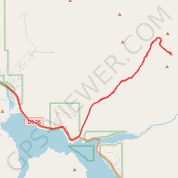
Mount Baird
- Distance: 14.4 mi
- Elevation gain: 1,306 m
- Maximum elevation: 3,028 m
- Elevation loss: 1,473 m
- Minimum elevation: 1,646 m
Interactive trail map
Trail profile
- Distance: 14.4 mi
- Elevation gain: 1,306 m
- Maximum elevation: 3,028 m
- Elevation loss: 1,473 m
- Minimum elevation: 1,646 m
About this trail
Name: Mount Baird trail, distance, elevation, map, profile, GPS track
Start: Little Elk Creek Trail, Bonneville County, Idaho, United States (43.33797 -111.14620)
End: Swan Valley Highway, Palisades, Bonneville County, Idaho, United States (43.34618 -111.20878)
Coordinates: 43.31896 -111.20878 43.37069 -111.09464