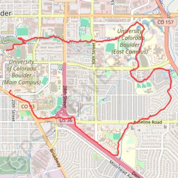
Boulder Running
- Distance: 5.1 mi
- Elevation gain: 65 m
- Maximum elevation: 1,656 m
- Elevation loss: 58 m
- Minimum elevation: 1,602 m
- Moving time: 43 m 14 s
- Moving speed: 7.1 mph
- Maximum speed: 10.2 mph
- Total time: 43 m 14 s
- Global speed: 7.1 mph
Interactive trail map
Trail profile
- Distance: 5.1 mi
- Elevation gain: 65 m
- Maximum elevation: 1,656 m
- Elevation loss: 58 m
- Minimum elevation: 1,602 m
- Moving time: 43 m 14 s
- Moving speed: 7.1 mph
- Maximum speed: 10.2 mph
- Total time: 43 m 14 s
- Global speed: 7.1 mph
About this trail
Name: Boulder Running trail, distance, elevation, map, profile, GPS track
Coordinates: 39.99546 -105.26898 40.01368 -105.23956