Keller Peak
Interactive trail map
Trail profile
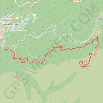
- Distance: 6.1 mi
- Elevation gain: 614 m
- Maximum elevation: 2,395 m
- Elevation loss: 66 m
- Minimum elevation: 1,843 m
About this trail
Name: Keller Peak trail, distance, elevation, map, profile, GPS track
Coordinates: 34.19487 -117.08660 34.20627 -117.04299
Other hiking, mountain biking, running and outdoor activity trails
Click on a trail to view its statistics, map and profile.
Big Bear - San Bernardino National Forest
United States > California > San Bernardino County > Highland
Distance: 37.9 mi • Elevation gain: 3,536 m • Maximum elevation: 2,429 m
Slide Peak trail
United States > California > San Bernardino County
Distance: 2.3 mi • Elevation gain: 154 m • Maximum elevation: 2,385 m
Mill Peak
United States > California > San Bernardino County > Running Springs
Distance: 4.3 mi • Elevation gain: 263 m • Maximum elevation: 2,028 m