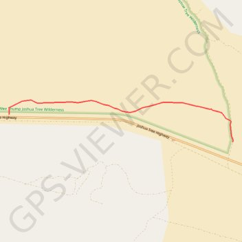
Wee Thump
Hike through Wee Thump Joshua Tree Wilderness. #Hiking #Nature #Forest #Wilderness
- Distance: 3.3 mi
- Elevation gain: 2 m
- Maximum elevation: 1,395 m
- Elevation loss: 133 m
- Minimum elevation: 1,261 m
Interactive trail map
Trail profile
- Distance: 3.3 mi
- Elevation gain: 2 m
- Maximum elevation: 1,395 m
- Elevation loss: 133 m
- Minimum elevation: 1,261 m
About this trail
Name: Wee Thump trail, distance, elevation, map, profile, GPS track
Start: Joshua Tree Highway, Searchlight, Clark County, Nevada, United States (35.51487 -115.10508)
End: Joshua Tree Highway, Searchlight, Clark County, Nevada, United States (35.50988 -115.05545)
Coordinates: 35.50988 -115.10508 35.51749 -115.05534