Fogg Dam Monsoon Walk
- Distance: 1.3 mi
- Elevation gain: 10 m
- Maximum elevation: 19 m
- Elevation loss: 14 m
- Minimum elevation: 5 m
- Moving time: 42 m 29 s
- Moving speed: 1.8 mph
- Maximum speed: 3.7 mph
- Total time: 54 m 7 s
- Global speed: 1.4 mph
Interactive trail map
Trail profile
- Distance: 1.3 mi
- Elevation gain: 10 m
- Maximum elevation: 19 m
- Elevation loss: 14 m
- Minimum elevation: 5 m
- Moving time: 42 m 29 s
- Moving speed: 1.8 mph
- Maximum speed: 3.7 mph
- Total time: 54 m 7 s
- Global speed: 1.4 mph
About this trail
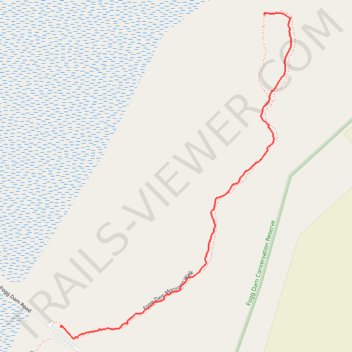
Name: Fogg Dam Monsoon Walk trail, distance, elevation, map, profile, GPS track
Coordinates: -12.56734 131.30840 -12.55558 131.31693
Other hiking, mountain biking, running and outdoor activity trails
Click on a trail to view its statistics, map and profile.
Fog Dam walks
Australia > Litchfield Municipality
Distance: 1.3 mi • Elevation gain: 7 m • Maximum elevation: 12 m