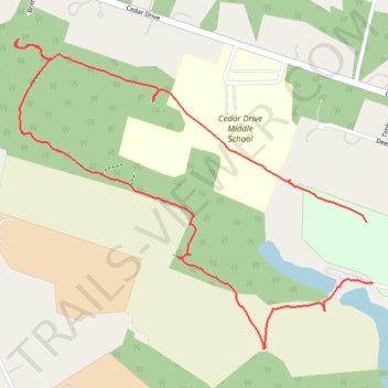
Bucks Mill Recreation Area
- Distance: 1.9 mi
- Elevation gain: 30 m
- Maximum elevation: 55 m
- Elevation loss: 28 m
- Minimum elevation: 31 m
- Moving time: 41 m 17 s
- Moving speed: 2.7 mph
- Maximum speed: 9.0 mph
- Total time: 45 m 49 s
- Global speed: 2.5 mph
Interactive trail map
Trail profile
- Distance: 1.9 mi
- Elevation gain: 30 m
- Maximum elevation: 55 m
- Elevation loss: 28 m
- Minimum elevation: 31 m
- Moving time: 41 m 17 s
- Moving speed: 2.7 mph
- Maximum speed: 9.0 mph
- Total time: 45 m 49 s
- Global speed: 2.5 mph
About this trail
Name: Bucks Mill Recreation Area trail, distance, elevation, map, profile, GPS track
Start: Colts Neck Township, Monmouth County, New Jersey, 07722, United States (40.29184 -74.20305)
Coordinates: 40.29031 -74.21392 40.29749 -74.20305