Woodstock South
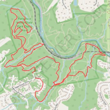
Interactive trail map
Trail profile
- Distance: 6.9 mi
- Elevation gain: 233 m
- Maximum elevation: 136 m
- Elevation loss: 233 m
- Minimum elevation: 76 m
About this trail
Name: Woodstock South trail, distance, elevation, map, profile, GPS track
Start: 2220, Treys Lane, Ellicott City, Howard County, Maryland, 21042, United States (39.31324 -76.85665)
Coordinates: 39.30889 -76.86233 39.32323 -76.84215
Other hiking, mountain biking, running and outdoor activity trails
Click on a trail to view its statistics, map and profile.
Patapsco Valley State Park Loop
United States > Maryland > Howard County > Ellicott City
Morning Ride
Distance: 16.6 mi • Elevation gain: 526 m • Maximum elevation: 158 m
BGE Access & Thru Trail
United States > Maryland > Baltimore County
Morning Ride
Distance: 1.3 mi • Elevation gain: 74 m • Maximum elevation: 139 m