Import a GPX file

San Dieguito River Park

Loop hike around San Dieguito River Park via the Bernardo Bay Trail along the Lake Hodges. #Hiking #Loop #Nature #Forest #River #Lake #Park

  • Distance: 2.4 mi
  • Elevation gain: 50 m
  • Maximum elevation: 127 m
  • Elevation loss: 47 m
  • Minimum elevation: 92 m

Interactive trail map

Trail profile

  • Distance: 2.4 mi
  • Elevation gain: 50 m
  • Maximum elevation: 127 m
  • Elevation loss: 47 m
  • Minimum elevation: 92 m

About this trail

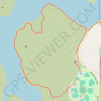
Name: San Dieguito River Park trail, distance, elevation, map, profile, GPS track

Start: West Bernardo Drive, San Diego, San Diego County, California, United States (33.04925 -117.07654)

End: West Bernardo Drive, San Diego, San Diego County, California, 92029, United States (33.04978 -117.07618)

Coordinates: 33.04681 -117.08546 33.05787 -117.07522

Gear up for your next adventure:

📷Outdoor Action Cameras - Cameras designed for hiking and adventure
🥤Collapsible Water Bottles - Save space in your rucksack as you consume your water
👖Packable Overtrousers - Quick-deploy rain protection for legs in sudden storms
📚UK Hiking Guidebooks - Detailed route descriptions for the Lake District, Peaks, and Highlands
🚲Cycling GPS Computers - Track elevation and topographic routes on two wheels

As an Amazon Associate, this site earns from qualifying purchases at no extra cost to you.