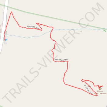
Joan Joenes Portman Trail
- Distance: 0.8 mi
- Elevation gain: 4 m
- Maximum elevation: 259 m
- Elevation loss: 95 m
- Minimum elevation: 163 m
- Moving time: 20 m
- Moving speed: 2.5 mph
- Maximum speed: 4.2 mph
- Total time: 20 m
- Global speed: 2.5 mph
Interactive trail map
Trail profile
- Distance: 0.8 mi
- Elevation gain: 4 m
- Maximum elevation: 259 m
- Elevation loss: 95 m
- Minimum elevation: 163 m
- Moving time: 20 m
- Moving speed: 2.5 mph
- Maximum speed: 4.2 mph
- Total time: 20 m
- Global speed: 2.5 mph
About this trail
Name: Joan Joenes Portman Trail trail, distance, elevation, map, profile, GPS track
Start: Portman Trail, Brush Creek Township, Adams County, Ohio, 45650, United States (38.74633 -83.45824)
Coordinates: 38.74593 -83.46369 38.74970 -83.45798