Lepard Preserve
Interactive trail map
Trail profile
- Distance: 1.4 mi
- Elevation gain: 24 m
- Maximum elevation: 249 m
- Elevation loss: 24 m
- Minimum elevation: 234 m
About this trail
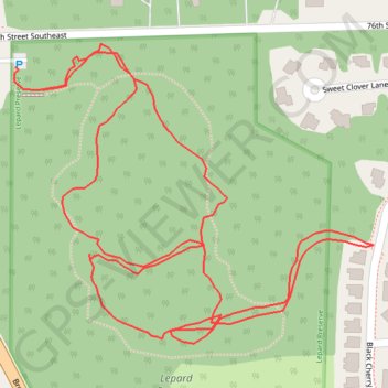
Name: Lepard Preserve trail, distance, elevation, map, profile, GPS track
Coordinates: 42.82289 -85.51728 42.82626 -85.51178