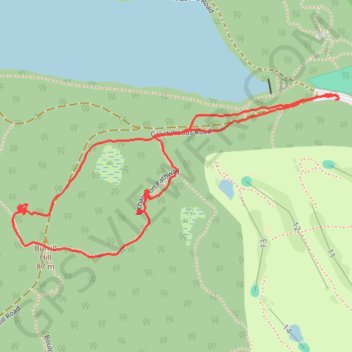
Lynn woods
- Distance: 1.5 mi
- Elevation gain: 64 m
- Maximum elevation: 81 m
- Elevation loss: 59 m
- Minimum elevation: 31 m
Interactive trail map
Trail profile
- Distance: 1.5 mi
- Elevation gain: 64 m
- Maximum elevation: 81 m
- Elevation loss: 59 m
- Minimum elevation: 31 m
About this trail
Name: Lynn woods trail, distance, elevation, map, profile, GPS track
Start: Great Woods Road, Lynn, Essex County, Massachusetts, 01905, United States (42.49309 -70.97750)
End: Great Woods Road, Lynn, Essex County, Massachusetts, 01905, United States (42.49297 -70.97751)
Coordinates: 42.48974 -70.98650 42.49309 -70.97744