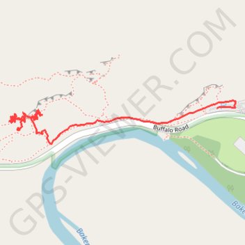
Rumney main cliff left
- Distance: 0.9 mi
- Elevation gain: 39 m
- Maximum elevation: 236 m
- Elevation loss: 83 m
- Minimum elevation: 168 m
- Moving time: 28 m 30 s
- Moving speed: 1.8 mph
- Maximum speed: 2.9 mph
- Total time: 4 h 21 m
- Global speed: 0.2 mph
Interactive trail map
Trail profile
- Distance: 0.9 mi
- Elevation gain: 39 m
- Maximum elevation: 236 m
- Elevation loss: 83 m
- Minimum elevation: 168 m
- Moving time: 28 m 30 s
- Moving speed: 1.8 mph
- Maximum speed: 2.9 mph
- Total time: 4 h 21 m
- Global speed: 0.2 mph
About this trail
Name: Rumney main cliff left trail, distance, elevation, map, profile, GPS track
Start: Main Cliff Trail, Rumney, Grafton County, New Hampshire, 03266, United States (43.80168 -71.83720)
Coordinates: 43.80129 -71.83749 43.80232 -71.83011
Other hiking, mountain biking, running and outdoor activity trails
Click on a trail to view its statistics, map and profile.