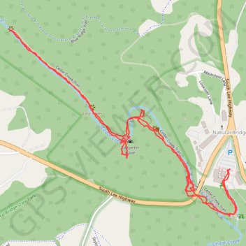
Cedar Creek Trail
- Distance: 2.6 mi
- Elevation gain: 216 m
- Maximum elevation: 370 m
- Elevation loss: 217 m
- Minimum elevation: 293 m
- Moving time: 59 m 8 s
- Moving speed: 2.7 mph
- Maximum speed: 25.0 mph
- Total time: 1 h 10 m
- Global speed: 2.2 mph
Interactive trail map
Trail profile
- Distance: 2.6 mi
- Elevation gain: 216 m
- Maximum elevation: 370 m
- Elevation loss: 217 m
- Minimum elevation: 293 m
- Moving time: 59 m 8 s
- Moving speed: 2.7 mph
- Maximum speed: 25.0 mph
- Total time: 1 h 10 m
- Global speed: 2.2 mph
About this trail
Name: Cedar Creek Trail trail, distance, elevation, map, profile, GPS track
Coordinates: 37.62687 -79.55419 37.63423 -79.54285