Walk at Calvin and Old Struan
- Distance: 1.2 mi
- Elevation gain: 49 m
- Maximum elevation: 192 m
- Elevation loss: 20 m
- Minimum elevation: 161 m
- Moving time: 27 m 32 s
- Moving speed: 2.5 mph
- Maximum speed: 6.5 mph
- Total time: 36 m 29 s
- Global speed: 1.9 mph
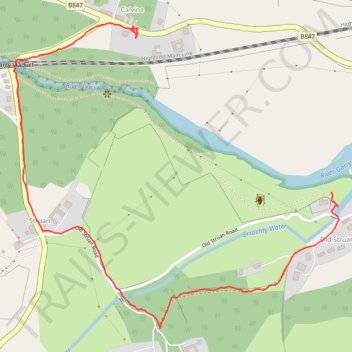
Interactive trail map
Trail profile
- Distance: 1.2 mi
- Elevation gain: 49 m
- Maximum elevation: 192 m
- Elevation loss: 20 m
- Minimum elevation: 161 m
- Moving time: 27 m 32 s
- Moving speed: 2.5 mph
- Maximum speed: 6.5 mph
- Total time: 36 m 29 s
- Global speed: 1.9 mph
About this trail
Name: Walk at Calvin and Old Struan trail, distance, elevation, map, profile, GPS track
End: B847, Calvine, Perth and Kinross, Scotland, PH18 5UA, United Kingdom (56.76799 -3.95715)
Coordinates: 56.76185 -3.96181 56.76820 -3.94947
Topography: Perth and Kinross topographic map, elevation, terrain