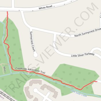
Creekside Adventure Trail Through path
- Distance: 0.4 mi
- Elevation gain: 7 m
- Maximum elevation: 12 m
- Elevation loss: 2 m
- Minimum elevation: 4 m
- Moving time: 11 m 49 s
- Moving speed: 2.0 mph
- Maximum speed: 3.1 mph
- Total time: 11 m 49 s
- Global speed: 2.0 mph
Interactive trail map
Trail profile
- Distance: 0.4 mi
- Elevation gain: 7 m
- Maximum elevation: 12 m
- Elevation loss: 2 m
- Minimum elevation: 4 m
- Moving time: 11 m 49 s
- Moving speed: 2.0 mph
- Maximum speed: 3.1 mph
- Total time: 11 m 49 s
- Global speed: 2.0 mph
About this trail
Name: Creekside Adventure Trail Through path trail, distance, elevation, map, profile, GPS track
Coordinates: 40.33300 -74.05290 40.33579 -74.04853