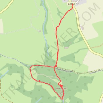
Lewesdon loop walk
- Distance: 2.4 mi
- Elevation gain: 128 m
- Maximum elevation: 270 m
- Elevation loss: 128 m
- Minimum elevation: 175 m
- Moving time: 1 h 16 m
- Moving speed: 1.9 mph
- Maximum speed: 4.1 mph
- Total time: 1 h 54 m
- Global speed: 1.2 mph
Interactive trail map
Trail profile
- Distance: 2.4 mi
- Elevation gain: 128 m
- Maximum elevation: 270 m
- Elevation loss: 128 m
- Minimum elevation: 175 m
- Moving time: 1 h 16 m
- Moving speed: 1.9 mph
- Maximum speed: 4.1 mph
- Total time: 1 h 54 m
- Global speed: 1.2 mph
About this trail
Name: Lewesdon loop walk trail, distance, elevation, map, profile, GPS track
Start: 2, Redlands Lane, Broadwindsor, Dorset, England, DT8 3ST, United Kingdom (50.81717 -2.79733)
End: 2, Redlands Lane, Broadwindsor, Dorset, England, DT8 3ST, United Kingdom (50.81710 -2.79735)
Coordinates: 50.80600 -2.80532 50.81717 -2.79733
Topography: Dorset topographic map, elevation, terrain