Look 2023
- Distance: 1.1 mi
- Elevation gain: 53 m
- Maximum elevation: 544 m
- Elevation loss: 5 m
- Minimum elevation: 495 m
- Moving time: 19 m 42 s
- Moving speed: 3.4 mph
- Maximum speed: 11.4 mph
- Total time: 28 m 30 s
- Global speed: 2.4 mph
Interactive trail map
Trail profile
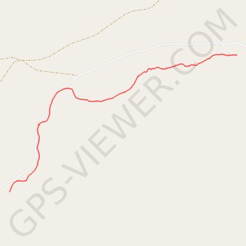
- Distance: 1.1 mi
- Elevation gain: 53 m
- Maximum elevation: 544 m
- Elevation loss: 5 m
- Minimum elevation: 495 m
- Moving time: 19 m 42 s
- Moving speed: 3.4 mph
- Maximum speed: 11.4 mph
- Total time: 28 m 30 s
- Global speed: 2.4 mph
About this trail
Name: Look 2023 trail, distance, elevation, map, profile, GPS track
Start: Logandale, Clark County, Nevada, United States (36.60367 -114.50921)
End: Logandale, Clark County, Nevada, United States (36.59708 -114.52287)
Coordinates: 36.59708 -114.52287 36.60372 -114.50921