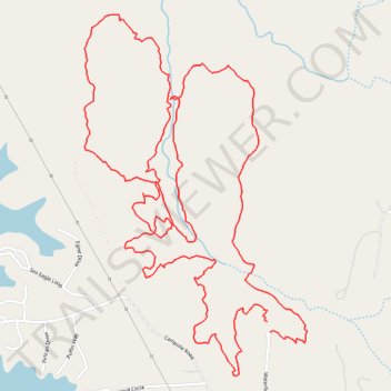
Creekside Loop and Leatherwood Loop trails
- Distance: 4.2 mi
- Elevation gain: 131 m
- Maximum elevation: 244 m
- Elevation loss: 134 m
- Minimum elevation: 206 m
- Moving time: 2 h 5 m
- Moving speed: 2.0 mph
- Maximum speed: 7.2 mph
- Total time: 2 h 35 m
- Global speed: 1.6 mph
Interactive trail map
Trail profile
- Distance: 4.2 mi
- Elevation gain: 131 m
- Maximum elevation: 244 m
- Elevation loss: 134 m
- Minimum elevation: 206 m
- Moving time: 2 h 5 m
- Moving speed: 2.0 mph
- Maximum speed: 7.2 mph
- Total time: 2 h 35 m
- Global speed: 1.6 mph
About this trail
Name: Creekside Loop and Leatherwood Loop trails trail, distance, elevation, map, profile, GPS track
Start: Waterfield Lane, Rockingham County, North Carolina, United States (36.31147 -80.00408)
Coordinates: 36.31014 -80.01105 36.32102 -80.00270