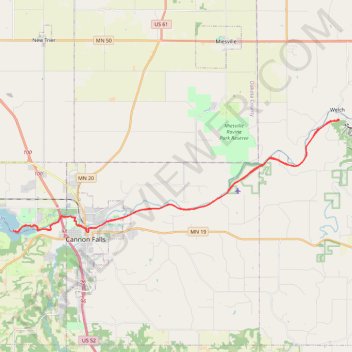
Cannon Valley Trail and Mill Towns State Trail from Welch to Echo Point on Lake Byllesby
- Distance: 27.6 mi
- Elevation gain: 363 m
- Maximum elevation: 266 m
- Elevation loss: 364 m
- Minimum elevation: 217 m
Interactive trail map
Trail profile
- Distance: 27.6 mi
- Elevation gain: 363 m
- Maximum elevation: 266 m
- Elevation loss: 364 m
- Minimum elevation: 217 m
About this trail
Name: Cannon Valley Trail and Mill Towns State Trail from Welch to Echo Point on Lake Byllesby trail, distance, elevation, map, profile, GPS track
Coordinates: 44.50997 -92.95447 44.56357 -92.73753