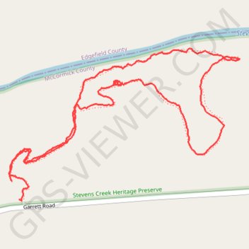
Stevens Creek Heritage Preserve
- Distance: 2.0 mi
- Elevation gain: 83 m
- Maximum elevation: 114 m
- Elevation loss: 84 m
- Minimum elevation: 72 m
- Moving time: 46 m 25 s
- Moving speed: 2.6 mph
- Maximum speed: 6.2 mph
- Total time: 1 h 7 m
- Global speed: 1.8 mph
Interactive trail map
Trail profile
- Distance: 2.0 mi
- Elevation gain: 83 m
- Maximum elevation: 114 m
- Elevation loss: 84 m
- Minimum elevation: 72 m
- Moving time: 46 m 25 s
- Moving speed: 2.6 mph
- Maximum speed: 6.2 mph
- Total time: 1 h 7 m
- Global speed: 1.8 mph
About this trail
Name: Stevens Creek Heritage Preserve trail, distance, elevation, map, profile, GPS track
Coordinates: 33.68559 -82.16311 33.69023 -82.15467