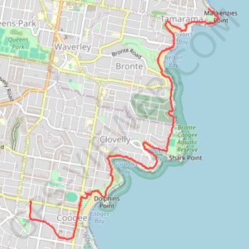
Bondi Beach - Coogee Beach
Interactive trail map
Trail profile
- Distance: 4.5 mi
- Elevation gain: 180 m
- Maximum elevation: 49 m
- Elevation loss: 157 m
- Minimum elevation: 1 m
- Moving time: 1 h 32 m
- Moving speed: 2.9 mph
- Maximum speed: 30.8 mph
- Total time: 1 h 45 m
- Global speed: 2.5 mph
About this trail
Name: Bondi Beach - Coogee Beach trail, distance, elevation, map, profile, GPS track
Coordinates: -33.92421 151.25005 -33.89763 151.27625
Other hiking, mountain biking, running and outdoor activity trails
Click on a trail to view its statistics, map and profile.
Bondi Beach - Cooge Beach
Australia > New South Wales > Sydney
Distance: 4.1 mi • Elevation gain: 181 m • Maximum elevation: 44 m