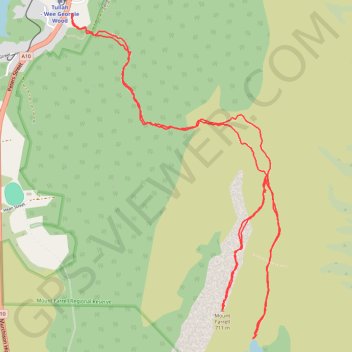
Mount Farrell - Lake Herbert
Interactive trail map
Trail profile
- Distance: 6.1 mi
- Elevation gain: 582 m
- Maximum elevation: 682 m
- Elevation loss: 582 m
- Minimum elevation: 184 m
- Moving time: 3 h 17 m
- Moving speed: 1.9 mph
- Maximum speed: 5.4 mph
- Total time: 4 h 3 m
- Global speed: 1.5 mph
About this trail
Name: Mount Farrell - Lake Herbert trail, distance, elevation, map, profile, GPS track
End: Mt Farell walking track, Tullah, West Coast, Tasmania, 7321, Australia (-41.73060 145.62496)
Coordinates: -41.75104 145.62493 -41.73060 145.64246