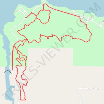
Tom Steed Lake Trails
- Distance: 6.3 mi
- Elevation gain: 180 m
- Maximum elevation: 491 m
- Elevation loss: 180 m
- Minimum elevation: 427 m
- Moving time: 1 h 6 m
- Moving speed: 5.7 mph
- Maximum speed: 18.3 mph
- Total time: 1 h 11 m
- Global speed: 5.3 mph
Interactive trail map
Trail profile
- Distance: 6.3 mi
- Elevation gain: 180 m
- Maximum elevation: 491 m
- Elevation loss: 180 m
- Minimum elevation: 427 m
- Moving time: 1 h 6 m
- Moving speed: 5.7 mph
- Maximum speed: 18.3 mph
- Total time: 1 h 11 m
- Global speed: 5.3 mph
About this trail
Name: Tom Steed Lake Trails trail, distance, elevation, map, profile, GPS track
Start: Kiowa County, Oklahoma, United States (34.74926 -98.98051)
End: Kiowa County, Oklahoma, United States (34.74934 -98.98042)
Coordinates: 34.73397 -98.98645 34.74950 -98.97084