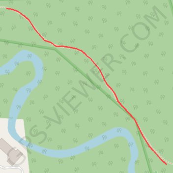
Joan Rodman Nature Sanctuary Trails
- Distance: 0.1 mi
- Elevation gain: 1 m
- Maximum elevation: 247 m
- Elevation loss: 1 m
- Minimum elevation: 246 m
- Moving time: 3 m 43 s
- Moving speed: 2.3 mph
- Maximum speed: 3.4 mph
- Total time: 3 m 43 s
- Global speed: 2.3 mph
Interactive trail map
Trail profile
- Distance: 0.1 mi
- Elevation gain: 1 m
- Maximum elevation: 247 m
- Elevation loss: 1 m
- Minimum elevation: 246 m
- Moving time: 3 m 43 s
- Moving speed: 2.3 mph
- Maximum speed: 3.4 mph
- Total time: 3 m 43 s
- Global speed: 2.3 mph
About this trail
Name: Joan Rodman Nature Sanctuary Trails trail, distance, elevation, map, profile, GPS track
Coordinates: 42.17359 -83.82038 42.17495 -83.81850