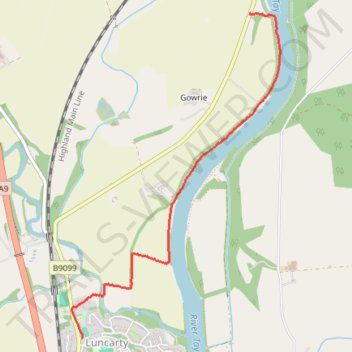
Exploring from Luncarty to Stanley along River Tay
- Distance: 2.0 mi
- Elevation gain: 37 m
- Maximum elevation: 46 m
- Elevation loss: 20 m
- Minimum elevation: 13 m
- Moving time: 27 m 23 s
- Moving speed: 4.4 mph
- Maximum speed: 8.8 mph
- Total time: 30 m 25 s
- Global speed: 4.0 mph
Interactive trail map
Trail profile
- Distance: 2.0 mi
- Elevation gain: 37 m
- Maximum elevation: 46 m
- Elevation loss: 20 m
- Minimum elevation: 13 m
- Moving time: 27 m 23 s
- Moving speed: 4.4 mph
- Maximum speed: 8.8 mph
- Total time: 30 m 25 s
- Global speed: 4.0 mph
About this trail
Name: Exploring from Luncarty to Stanley along River Tay trail, distance, elevation, map, profile, GPS track
Coordinates: 56.45308 -3.47091 56.47212 -3.44887
Topography: Perth and Kinross topographic map, elevation, terrain