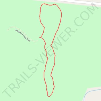
Hogans Creek Loop
- Distance: 0.3 mi
- Elevation gain: 10 m
- Maximum elevation: 249 m
- Elevation loss: 10 m
- Minimum elevation: 238 m
- Moving time: 8 m 42 s
- Moving speed: 2.3 mph
- Maximum speed: 4.2 mph
- Total time: 8 m 42 s
- Global speed: 2.3 mph
Interactive trail map
Trail profile
- Distance: 0.3 mi
- Elevation gain: 10 m
- Maximum elevation: 249 m
- Elevation loss: 10 m
- Minimum elevation: 238 m
- Moving time: 8 m 42 s
- Moving speed: 2.3 mph
- Maximum speed: 4.2 mph
- Total time: 8 m 42 s
- Global speed: 2.3 mph
About this trail
Name: Hogans Creek Loop trail, distance, elevation, map, profile, GPS track
Start: Hogans Creek Trail, Rockingham County, North Carolina, United States (36.30044 -79.99696)
End: Hogans Creek Trail, Rockingham County, North Carolina, United States (36.30046 -79.99690)
Coordinates: 36.29910 -79.99696 36.30119 -79.99634