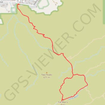
Fat Man's Pass Loop via Mormon, National and Hidden Valley Trails
Interactive trail map
Trail profile
- Distance: 3.7 mi
- Elevation gain: 268 m
- Maximum elevation: 645 m
- Elevation loss: 268 m
- Minimum elevation: 391 m
About this trail
Name: Fat Man's Pass Loop via Mormon, National and Hidden Valley Trails trail, distance, elevation, map, profile, GPS track
Coordinates: 33.35061 -112.03144 33.36650 -112.01768