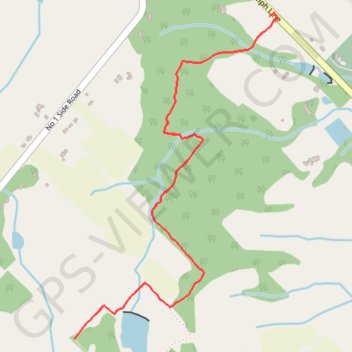
Bruce Trail from Guelph Line
- Distance: 3.3 mi
- Elevation gain: 119 m
- Maximum elevation: 270 m
- Elevation loss: 119 m
- Minimum elevation: 217 m
Interactive trail map
Trail profile
- Distance: 3.3 mi
- Elevation gain: 119 m
- Maximum elevation: 270 m
- Elevation loss: 119 m
- Minimum elevation: 217 m
About this trail
Name: Bruce Trail from Guelph Line trail, distance, elevation, map, profile, GPS track
Coordinates: 43.37580 -79.86495 43.38853 -79.85407
Other hiking, mountain biking, running and outdoor activity trails
Click on a trail to view its statistics, map and profile.
Aldershot - Kitchener
Canada > Ontario > Halton Region > Burlington
#Bike
Distance: 49.1 mi • Elevation gain: 570 m • Maximum elevation: 346 m
Hamilton - Toronto
#Bike
Distance: 50.5 mi • Elevation gain: 458 m • Maximum elevation: 111 m