Import a GPX file

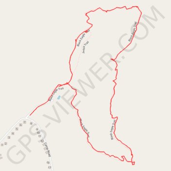
Black Eagle Trail - Mountain Zebra National Park

#Hiking #Loop

  • Distance: 1.4 mi
  • Elevation gain: 113 m
  • Maximum elevation: 1,340 m
  • Elevation loss: 123 m
  • Minimum elevation: 1,225 m

Interactive trail map

Trail profile

  • Distance: 1.4 mi
  • Elevation gain: 113 m
  • Maximum elevation: 1,340 m
  • Elevation loss: 123 m
  • Minimum elevation: 1,225 m

About this trail

Gear up for your next adventure:

🪓Outdoor Multitools - Versatile tools for hiking and camping
📚UK Hiking Guidebooks - Detailed route descriptions for the Lake District, Peaks, and Highlands
🥫Expedition Meals - Lightweight, high-calorie nutrition for long-distance hikers
🧼Technical Clothing Wash - Special soap to clean and restore waterproof membranes
🎒Hiking Backpacks - Comfortable backpacks for day hikes and multi-day treks

As an Amazon Associate, this site earns from qualifying purchases at no extra cost to you.