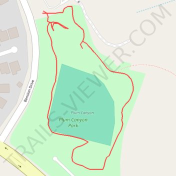
Plum Canyon Park Loop Walk
- Distance: 0.5 mi
- Elevation gain: 27 m
- Maximum elevation: 541 m
- Elevation loss: 27 m
- Minimum elevation: 521 m
- Moving time: 14 m 8 s
- Moving speed: 2.1 mph
- Maximum speed: 4.2 mph
- Total time: 15 m 24 s
- Global speed: 2.0 mph
Interactive trail map
Trail profile
- Distance: 0.5 mi
- Elevation gain: 27 m
- Maximum elevation: 541 m
- Elevation loss: 27 m
- Minimum elevation: 521 m
- Moving time: 14 m 8 s
- Moving speed: 2.1 mph
- Maximum speed: 4.2 mph
- Total time: 15 m 24 s
- Global speed: 2.0 mph
About this trail
Name: Plum Canyon Park Loop Walk trail, distance, elevation, map, profile, GPS track
Coordinates: 34.44356 -118.46597 34.44577 -118.46448