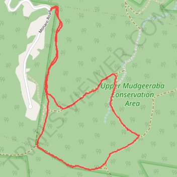
Upper Mudgeeraba Conservation Area
- Distance: 3.0 mi
- Elevation gain: 263 m
- Maximum elevation: 279 m
- Elevation loss: 262 m
- Minimum elevation: 98 m
- Moving time: 1 h 46 m
- Moving speed: 1.7 mph
- Maximum speed: 3.4 mph
- Total time: 1 h 57 m
- Global speed: 1.5 mph
Interactive trail map
Trail profile
- Distance: 3.0 mi
- Elevation gain: 263 m
- Maximum elevation: 279 m
- Elevation loss: 262 m
- Minimum elevation: 98 m
- Moving time: 1 h 46 m
- Moving speed: 1.7 mph
- Maximum speed: 3.4 mph
- Total time: 1 h 57 m
- Global speed: 1.5 mph
About this trail
Name: Upper Mudgeeraba Conservation Area trail, distance, elevation, map, profile, GPS track
Start: Monaro Road, Mudgeeraba, Gold Coast City, Queensland, Australia (-28.10628 153.33718)
End: Monaro Road, Mudgeeraba, Gold Coast City, Queensland, Australia (-28.10638 153.33722)
Coordinates: -28.11863 153.33602 -28.10608 153.34487