Tahoe Donner Adventure Center
Euer Valley
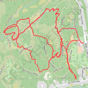
- Distance: 6.6 mi
- Elevation gain: 241 m
- Maximum elevation: 2,146 m
- Elevation loss: 240 m
- Minimum elevation: 2,022 m
Interactive trail map
Trail profile
- Distance: 6.6 mi
- Elevation gain: 241 m
- Maximum elevation: 2,146 m
- Elevation loss: 240 m
- Minimum elevation: 2,022 m
About this trail
Name: Tahoe Donner Adventure Center trail, distance, elevation, map, profile, GPS track
Start: Alder Creek Trail, Truckee, Nevada County, California, 95161, United States (39.36415 -120.25377)
End: Alder Creek Trail, Truckee, Nevada County, California, 95161, United States (39.36419 -120.25418)
Coordinates: 39.35886 -120.26743 39.36861 -120.25300