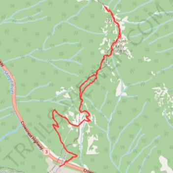
Ski up and down Mount Kelly
- Distance: 5.7 mi
- Elevation gain: 607 m
- Maximum elevation: 1,909 m
- Elevation loss: 611 m
- Minimum elevation: 1,339 m
- Moving time: 2 h 14 m
- Moving speed: 2.6 mph
- Maximum speed: 20.0 mph
- Total time: 4 h 12 m
- Global speed: 1.4 mph
Interactive trail map
Trail profile
- Distance: 5.7 mi
- Elevation gain: 607 m
- Maximum elevation: 1,909 m
- Elevation loss: 611 m
- Minimum elevation: 1,339 m
- Moving time: 2 h 14 m
- Moving speed: 2.6 mph
- Maximum speed: 20.0 mph
- Total time: 4 h 12 m
- Global speed: 1.4 mph
About this trail
Name: Ski up and down Mount Kelly trail, distance, elevation, map, profile, GPS track
Coordinates: 49.11570 -120.86981 49.13728 -120.85590
Other hiking, mountain biking, running and outdoor activity trails
Click on a trail to view its statistics, map and profile.