Import a GPX file

Stoddard Peak

Hike to Stoddard Peak by the BarretStoddard Truck Trail in Angeles National Forest. #Hiking #Mountain #Forest #Nature #Angeles

  • Distance: 3.0 mi
  • Elevation gain: 369 m
  • Maximum elevation: 1,399 m
  • Elevation loss: 143 m
  • Minimum elevation: 1,140 m

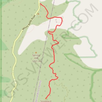
Interactive trail map

Trail profile

  • Distance: 3.0 mi
  • Elevation gain: 369 m
  • Maximum elevation: 1,399 m
  • Elevation loss: 143 m
  • Minimum elevation: 1,140 m

About this trail

Gear up for your next adventure:

🧺Mesh Stuff Sacks - Breathable storage for wet gear or camp organization
🧊Insulated Flasks - Keeps drinks hot or cold during hikes
🧴Sport Sunscreen Sticks - High-protection sunblock that won't run into your eyes on the trail
🧣Neck Gaiters - Versatile protection against wind and cold
🗺️Topographic Maps - Detailed maps showing elevation and terrain features

As an Amazon Associate, this site earns from qualifying purchases at no extra cost to you.