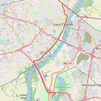
Creve Coeur Lakehouse Bar & Grill to Boschert Greenway New Town
- Distance: 9.9 mi
- Elevation gain: 111 m
- Maximum elevation: 165 m
- Elevation loss: 88 m
- Minimum elevation: 131 m
Interactive trail map
Trail profile
- Distance: 9.9 mi
- Elevation gain: 111 m
- Maximum elevation: 165 m
- Elevation loss: 88 m
- Minimum elevation: 131 m
About this trail
Name: Creve Coeur Lakehouse Bar & Grill to Boschert Greenway New Town trail, distance, elevation, map, profile, GPS track
Coordinates: 38.70100 -90.52541 38.80718 -90.47505
Other hiking, mountain biking, running and outdoor activity trails
Click on a trail to view its statistics, map and profile.
Creve Coeur Lakehouse Bar & Grill to Boschert Greenway New Town
United States > Missouri > Saint Louis County > Maryland Heights
Distance: 12.8 mi • Elevation gain: 144 m • Maximum elevation: 171 m