Import a GPX file

Saint Valentines Peak

#Hiking #Tasmania

  • Distance: 5.1 mi
  • Elevation gain: 573 m
  • Maximum elevation: 1,073 m
  • Elevation loss: 583 m
  • Minimum elevation: 517 m

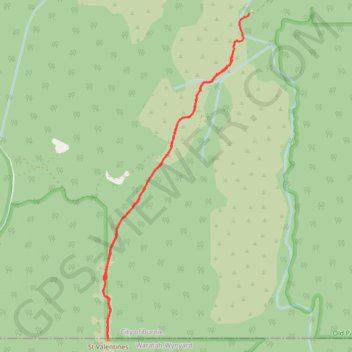
Interactive trail map

Trail profile

  • Distance: 5.1 mi
  • Elevation gain: 573 m
  • Maximum elevation: 1,073 m
  • Elevation loss: 583 m
  • Minimum elevation: 517 m

About this trail

Name: Saint Valentines Peak trail, distance, elevation, map, profile, GPS track

Start: St Valentines Peak Track, Hampshire, City of Burnie, Tasmania, 7321, Australia (-41.32870 145.77203)

End: St Valentines Peak Track, Hampshire, City of Burnie, Tasmania, 7321, Australia (-41.32512 145.77406)

Coordinates: -41.35633 145.75527 -41.32512 145.77406

Gear up for your next adventure:

🧰Survival Kits - Emergency tools for remote environments
🥾Trekking Poles - Poles to improve stability on uneven terrain
🥾Hiking Boots - Waterproof and durable boots for long-distance hiking in the UK
🚲Bikepacking Frame Bags - Storage for tools and navigation gear on long off-road rides
🛌Sleeping Bags - Warm and packable sleeping bags for outdoor nights

As an Amazon Associate, this site earns from qualifying purchases at no extra cost to you.