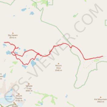
Big Pine Lakes Loop
From the Glacier Lodge area, this Big Pine Lakes Loop begins along the North Fork Big Pine Creek Trail, entering the John Muir Wilderness of Inyo National Forest. The route climbs beside North Fork Big Pine Creek through forest and sagebrush slopes before reaching the higher canyon beneath Mount Alice. The approach offers early views toward Temple Crag and the Palisade Glacier basin.
The trail then reaches the main chain of alpine lakes in a clear progression: First Lake, Second Lake and Third Lake appear beneath pale granite walls and dramatic High Sierra peaks. The route continues deeper into the basin toward Fourth Lake, then climbs into quieter upper terrain around Sixth Lake and Summit Lake, where the landscape becomes more open, rocky and remote.
On the return side of the loop, the route bends back through Fifth Lake and Black Lake before reconnecting with the main North Fork Big Pine Creek corridor. The descent retraces the creekside canyon toward Glacier Lodge, completing a varied wilderness hike shaped by turquoise glacier-fed lakes, granite benches, forested slopes, rushing water and sweeping Eastern Sierra views.
#Hiking #Loop #Lake #Mountain #River #Forest #Nature #Creek #Wilderness #Canyon #Peak #Alpine #Granite
- Distance: 15.2 mi
- Elevation gain: 1,235 m
- Maximum elevation: 3,432 m
- Elevation loss: 1,235 m
- Minimum elevation: 2,340 m
Interactive trail map
Trail profile
- Distance: 15.2 mi
- Elevation gain: 1,235 m
- Maximum elevation: 3,432 m
- Elevation loss: 1,235 m
- Minimum elevation: 2,340 m
About this trail
Name: Big Pine Lakes Loop trail, distance, elevation, map, profile, GPS track
Coordinates: 37.12257 -118.51253 37.13795 -118.42769
Other hiking, mountain biking, running and outdoor activity trails
Click on a trail to view its statistics, map and profile.
Big Pine Creek Trail to First Lake and Second Lake via First Falls and Second Falls
United States > California > Inyo County
The Big Pine Creek Trail is a rewarding hike in the Inyo National Forest, offering stunning views of cascading waterfalls, rugged mountain landscapes, and serene alpine lakes. As you ascend, the trail weaves through diverse terrain, with sections shaded by trees and others offering expansive vistas of the…
Distance: 8.7 mi • Elevation gain: 715 m • Maximum elevation: 3,076 m