Import a GPX file

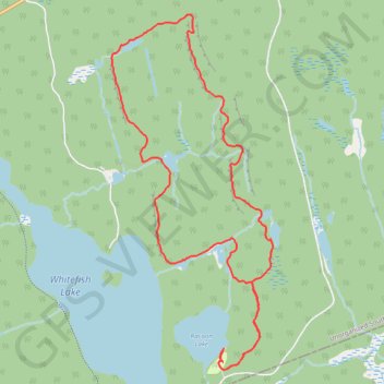
Coon Lake - Centennial Ridges Trail

Algonquin Provincial Park. #Hiking #Loop #Coon #Algonquin

  • Distance: 7.0 mi
  • Elevation gain: 338 m
  • Maximum elevation: 539 m
  • Elevation loss: 342 m
  • Minimum elevation: 399 m

Interactive trail map

Trail profile

  • Distance: 7.0 mi
  • Elevation gain: 338 m
  • Maximum elevation: 539 m
  • Elevation loss: 342 m
  • Minimum elevation: 399 m

About this trail

Other hiking, mountain biking, running and outdoor activity trails

Click on a trail to view its statistics, map and profile.

Québec - Montréal - Saint-Laurent River - Lake Ontario - Niagara Falls

Canada > Quebec > Urban agglomeration of Québec > Quebec

#Bike #Ontario

Distance: 670.1 mi • Elevation gain: 4,804 m • Maximum elevation: 209 m

Gear up for your next adventure:

🧥Softshell Jackets - Breathable jackets for active outdoor use
🥼Base Layers - Thermal base layers for temperature regulation
🔦LED Camping Lanterns - Illumination for reading maps inside your tent at night
🕶️Polarized Sunglasses - Reduces glare from snow and water when reading terrain
🪓Outdoor Multitools - Versatile tools for hiking and camping

As an Amazon Associate, this site earns from qualifying purchases at no extra cost to you.