Hollyburn Peak
Interactive trail map
Trail profile
- Distance: 4.4 mi
- Elevation gain: 408 m
- Maximum elevation: 1,301 m
- Elevation loss: 408 m
- Minimum elevation: 901 m
About this trail
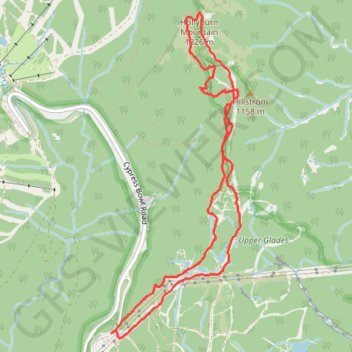
Name: Hollyburn Peak trail, distance, elevation, map, profile, GPS track
Coordinates: 49.37874 -123.19212 49.40063 -123.17873
Other hiking, mountain biking, running and outdoor activity trails
Click on a trail to view its statistics, map and profile.