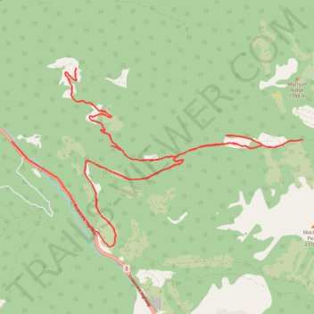
Eight Mile Creek FSR
- Distance: 22.9 mi
- Elevation gain: 1,650 m
- Maximum elevation: 1,319 m
- Elevation loss: 1,841 m
- Minimum elevation: 331 m
Interactive trail map
Trail profile
- Distance: 22.9 mi
- Elevation gain: 1,650 m
- Maximum elevation: 1,319 m
- Elevation loss: 1,841 m
- Minimum elevation: 331 m
About this trail
Name: Eight Mile Creek FSR trail, distance, elevation, map, profile, GPS track
Coordinates: 49.32398 -121.31736 49.36387 -121.21788
Other hiking, mountain biking, running and outdoor activity trails
Click on a trail to view its statistics, map and profile.