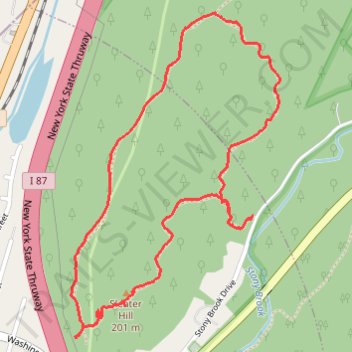
Dater Mountain Loop
- Distance: 2.4 mi
- Elevation gain: 140 m
- Maximum elevation: 211 m
- Elevation loss: 140 m
- Minimum elevation: 130 m
- Moving time: 47 m 12 s
- Moving speed: 3.1 mph
- Maximum speed: 6.1 mph
- Total time: 51 m
- Global speed: 2.8 mph
Interactive trail map
Trail profile
- Distance: 2.4 mi
- Elevation gain: 140 m
- Maximum elevation: 211 m
- Elevation loss: 140 m
- Minimum elevation: 130 m
- Moving time: 47 m 12 s
- Moving speed: 3.1 mph
- Maximum speed: 6.1 mph
- Total time: 51 m
- Global speed: 2.8 mph
About this trail
Name: Dater Mountain Loop trail, distance, elevation, map, profile, GPS track
Coordinates: 41.16747 -74.18469 41.17804 -74.17569