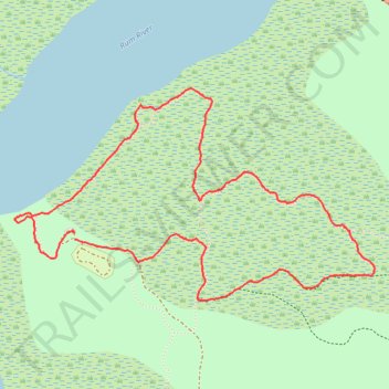
Kathio State Park, MN
- Distance: 3.5 mi
- Elevation gain: 30 m
- Maximum elevation: 399 m
- Elevation loss: 29 m
- Minimum elevation: 382 m
- Moving time: 1 h 19 m
- Moving speed: 2.6 mph
- Maximum speed: 6.7 mph
- Total time: 1 h 26 m
- Global speed: 2.4 mph
Interactive trail map
Trail profile
- Distance: 3.5 mi
- Elevation gain: 30 m
- Maximum elevation: 399 m
- Elevation loss: 29 m
- Minimum elevation: 382 m
- Moving time: 1 h 19 m
- Moving speed: 2.6 mph
- Maximum speed: 6.7 mph
- Total time: 1 h 26 m
- Global speed: 2.4 mph
About this trail
Name: Kathio State Park, MN trail, distance, elevation, map, profile, GPS track
Coordinates: 46.14187 -93.77618 46.15090 -93.75414